As a photojournalist, I have taken pictures during Doors Open nearly every year since the event started, showcasing the history and architecture of Milwaukee. Of the 170 locations on the 2017 list, I have visited 100 of them either during the Open Doors weekend or for other news reports.
The Milwaukee Independent image library is substantial enough that we could produce a feature with unpublished pictures from past years. So we debated about how to cover Doors Open this year that was fresh and not repetitive.
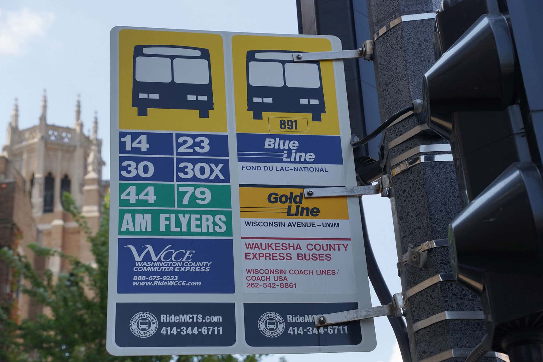
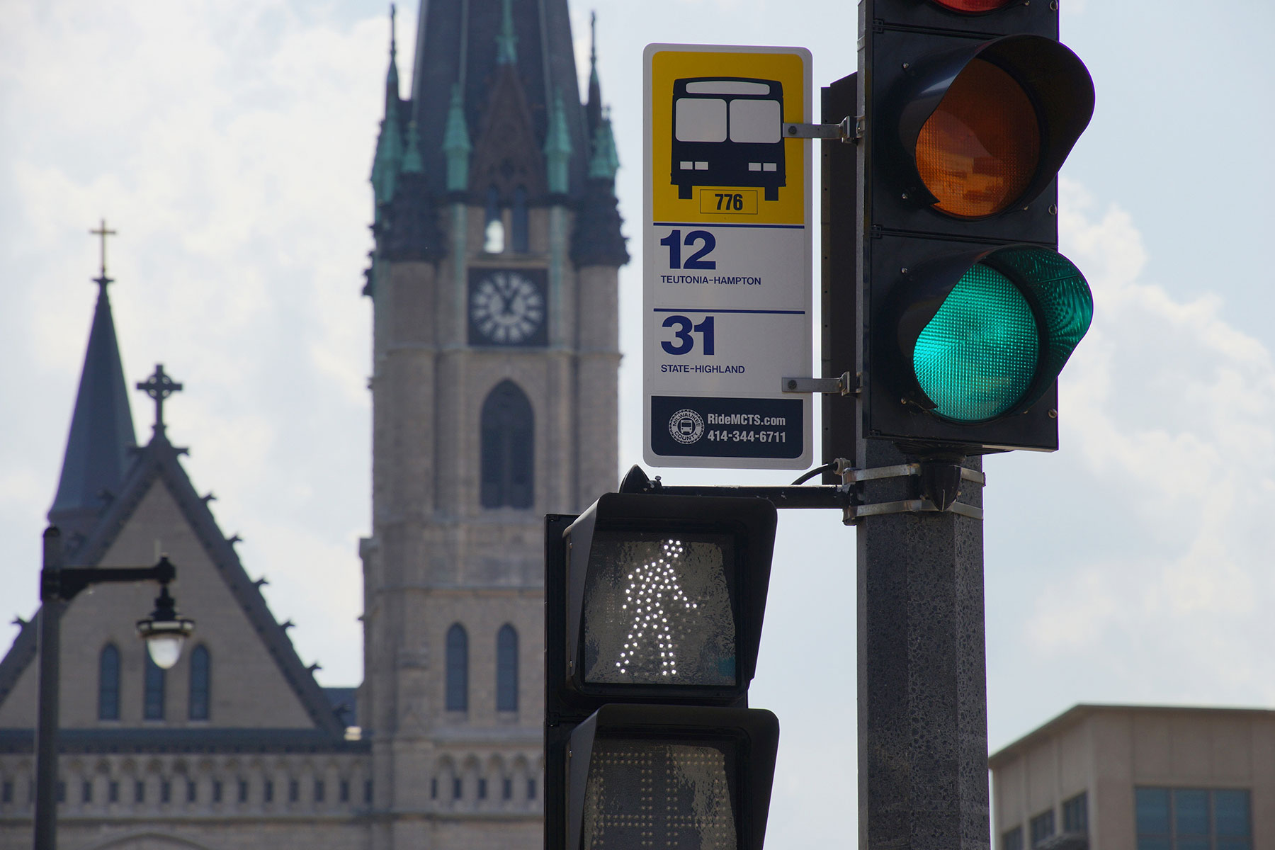
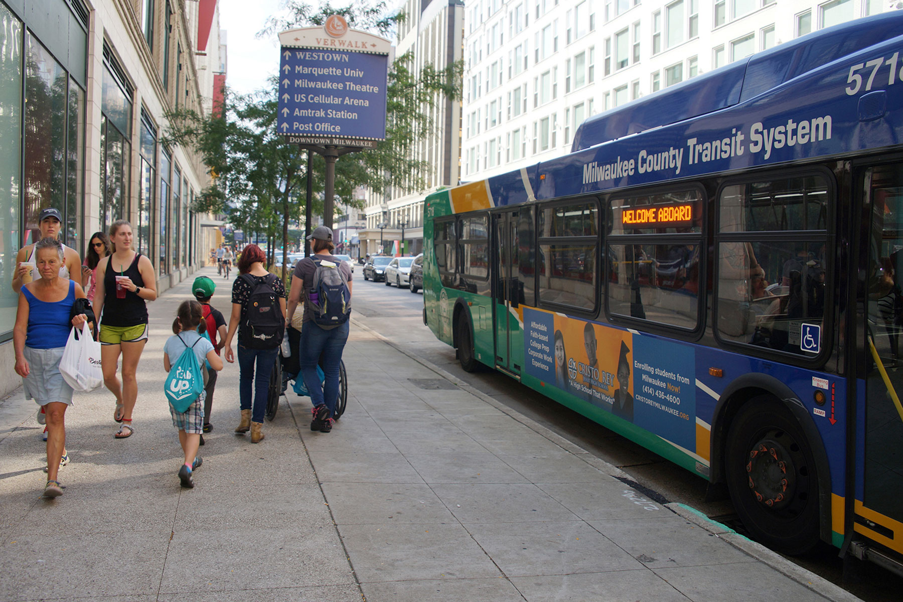
The highest location density on the tour list is in the Downtown corridor, which I walk through daily. The Milwaukee County Transit System (MCTS) offers special routes every year the Milwaukee’s many festivals, to alleviate traffic and the headache of driving.
All the years I spent overseas taught me the value of a good public transportation system. For individuals unfamiliar with the city, parking seems to be a challenge at times, especially during popular events.
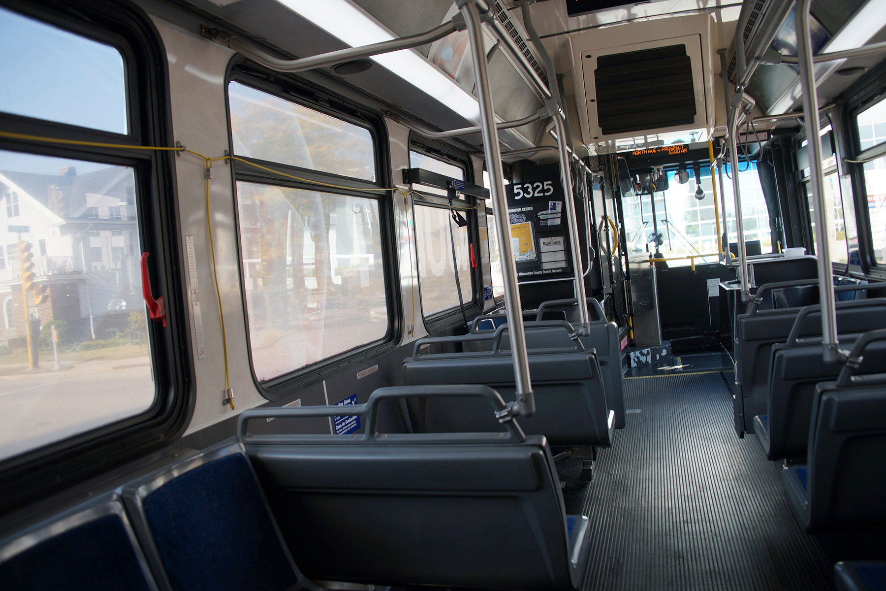
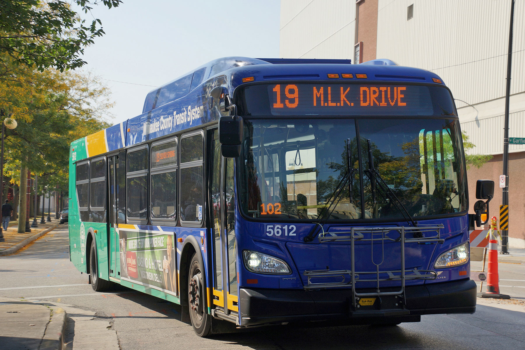
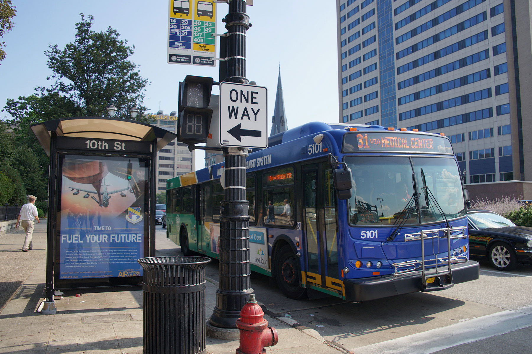
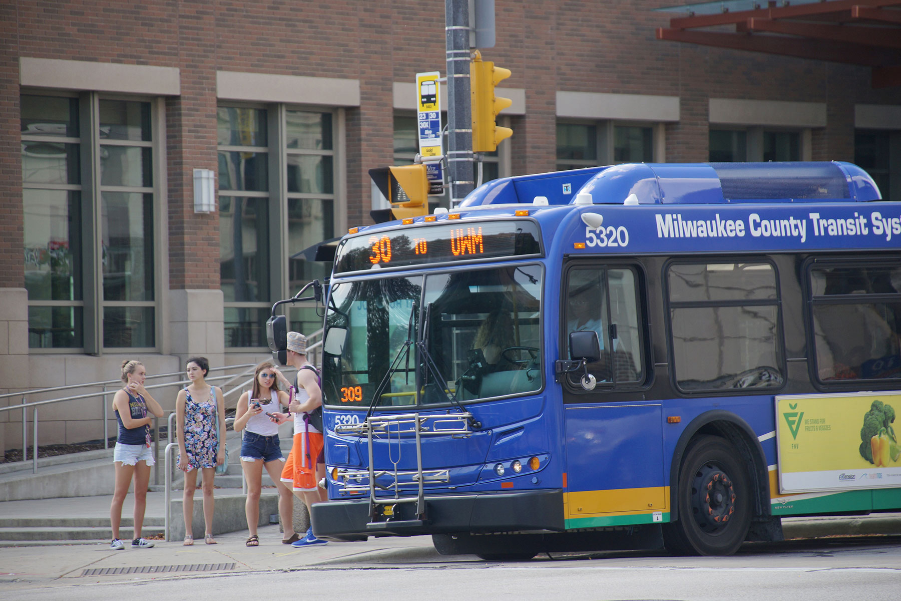
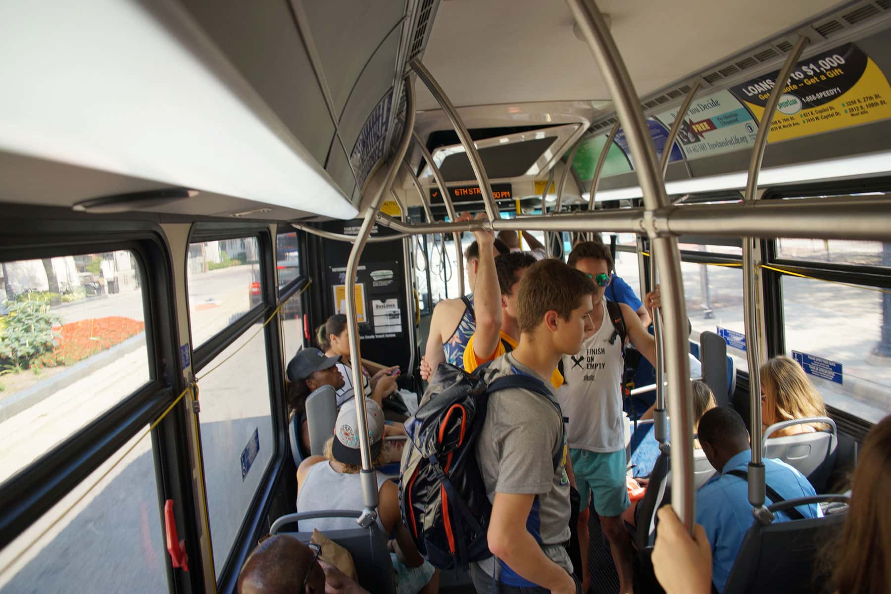
The combination of my travel methods was the basis for reporting on Doors Open 2017. It was a challenge, to visit as many places as I could in one day, using only a single-day bus pass from MCTS for $4.00, and my feet.
I picked 75 sites that were of personal interest, and had footprints around the entire Metro area. The goal was also to show how accessible Milwaukee is, and how getting around does not require owning a car. I also wanted to include sites that tended to be less popular in previous years, because they were not clustered.
After working out the routes and logistics, 5 locations had to be dropped because they took too much time to reach, relative to other sites. That left 70, and I began the day with a list and plotted map. There were stops in 11 of Milwaukee’s neighborhoods, spanning every direction, from Lower East Side, to Brewer’s Hill, Halyard Park, Lindsay Heights, Hillside, Haymarket, Concordia, Westown, Downtown, East Town, Bayside, Menomonee Valley, and Yankee Hill.
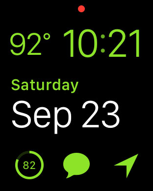
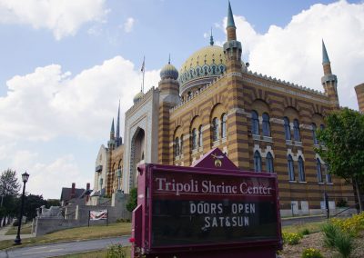
Everything proceeded as planned up until reaching location #28 in Concordia, Tripoli Shrine Center. Because of the unexpected 92° September heat, I calculated that I would run out of energy before visiting the other 42 locations before the end of day. Feeling tired and fatigued, I had to abandon all the Southern venues, including the Menomonee Valley, and re-route my travels for the density of downtown.
A few hours later, I metaphorically hit a wall and had to give up on reaching the last 5 locations to take a bus home. It was tempting to return the following day when after I had rested, but the goal was to cover what could be done in a single day.
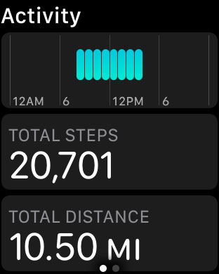
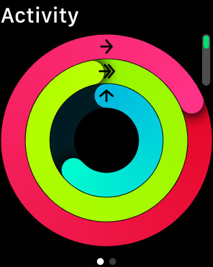
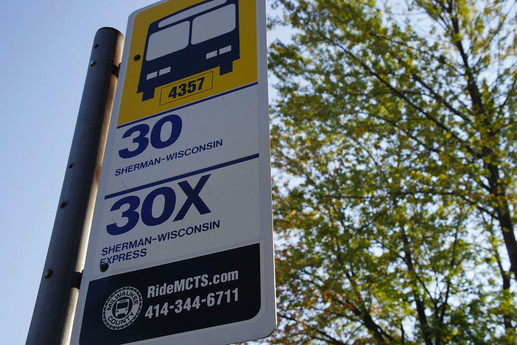
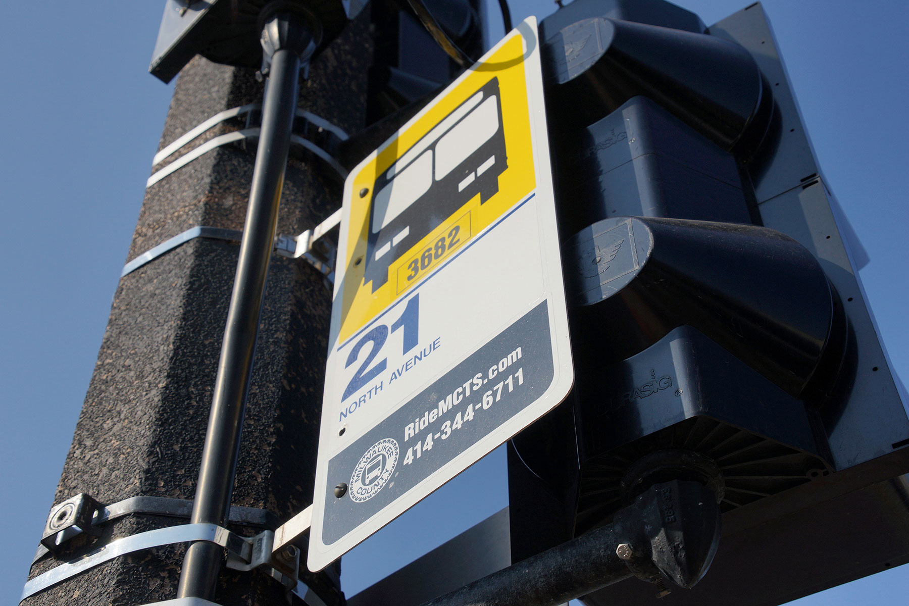
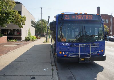
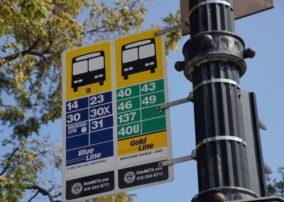
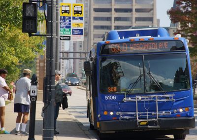
On September 23, I walked a total of 20,701 steps, or 10.50 miles in over 90° temperatures. Using a network of bus routes (Gold, 14, 21, and 30), I covered another 6.86 miles for a total route of 17.36 miles. The 42 locations I visited encompassed Downtown, to the Eastside, to the Northwest side, to Milwaukee’s Westown. Sorry South Side. It would be possible to visit 70 sites in two days, a North half and a South half, so perhaps that will by my 2018 challenge.
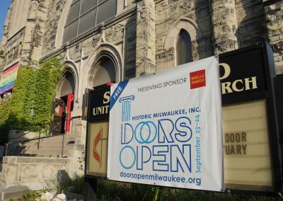
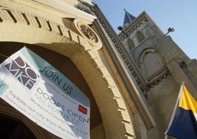
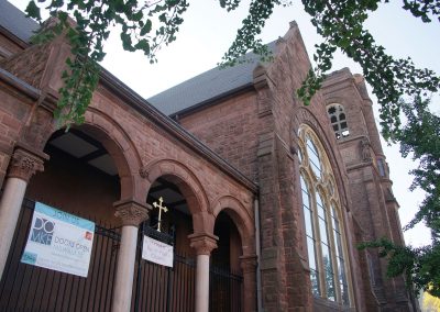
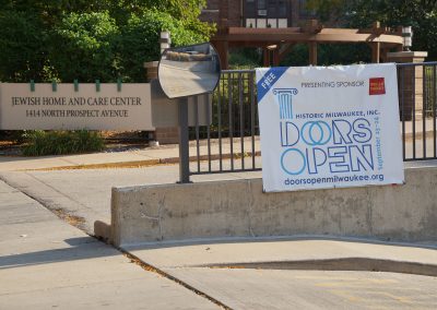
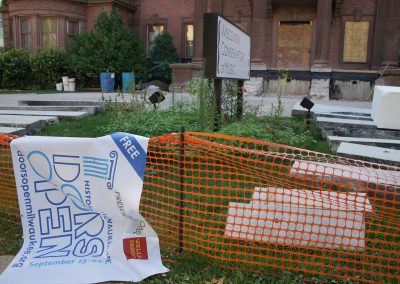
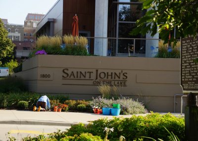
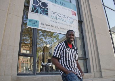
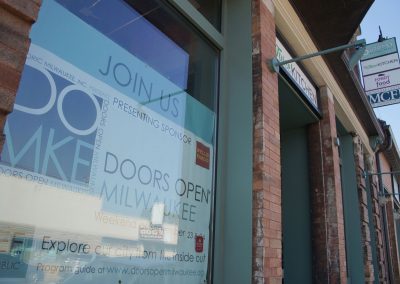
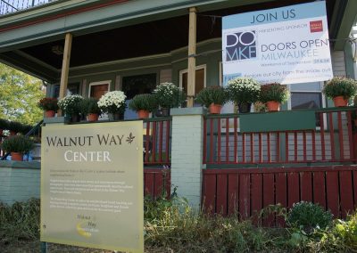
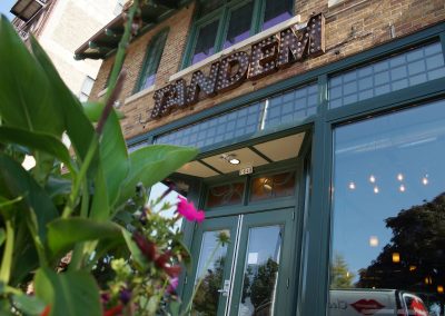
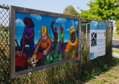
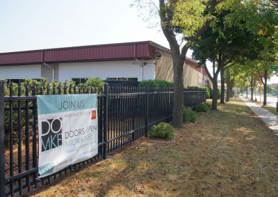
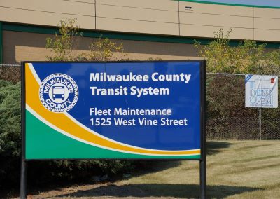
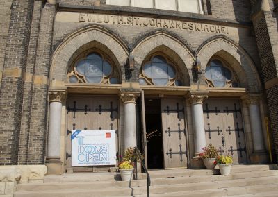
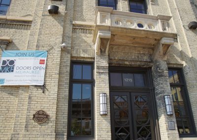
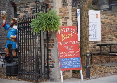
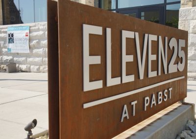
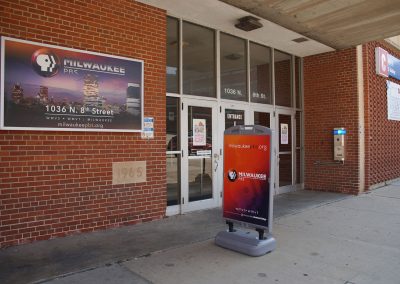
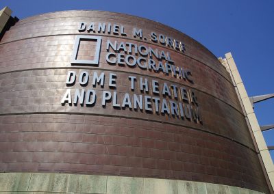
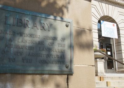
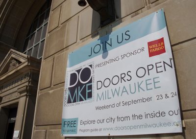
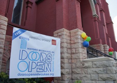
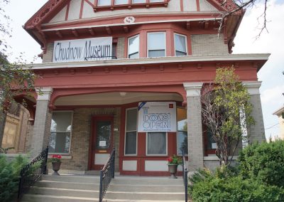
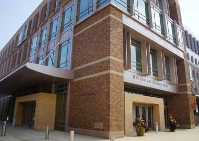
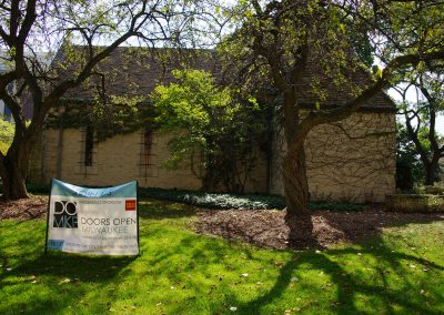
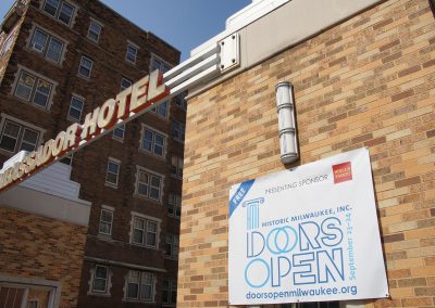
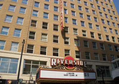
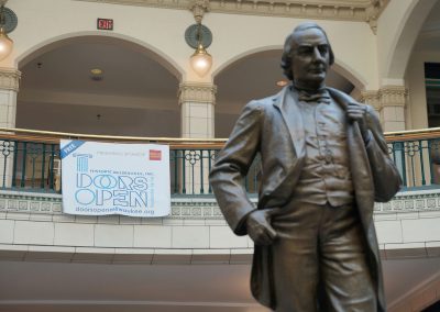
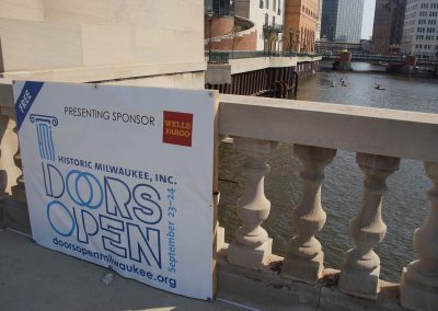
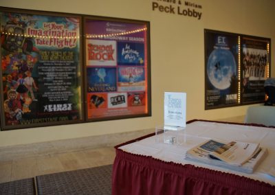
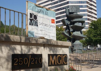
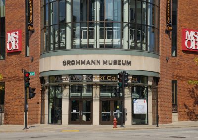
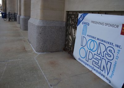
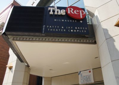
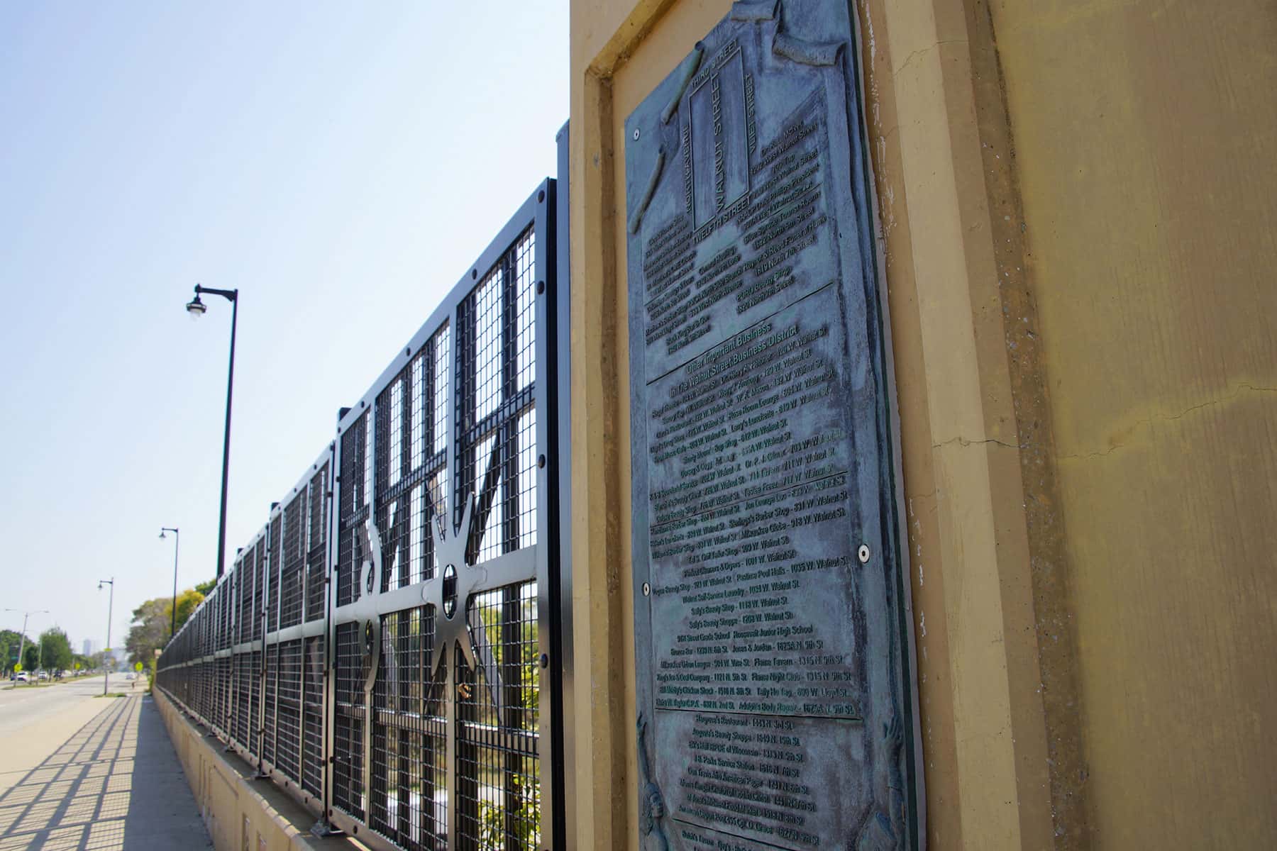
This map is a compilation of my one day challenge, with venue markers and routes for bus and walking. Photos of the Doors Open signs on display are presented as proof of the journey. Some venues displayed older signs with new dates, and a handful either had no banner or merely presented smaller signs.
The map is a guide for anyone to follow, but a good mobile phone transit app, working knowledge of MCTS bus routes, and physical stamina for long-distance walking are required.
List of 42 Locations
All sites were visited in One Day (September 23) using a $4.00 single-day pass on Milwaukee County Transit System (MCTS) buses or by walking.
- Summerfield United Methodist Church
- All Saints’ Cathedral
- St. Paul’s Episcopal Church
- Jewish Museum Milwaukee
- Ovation Jewish Home
- Wisconsin Conservatory of Music
- Saint John’s on the Lake
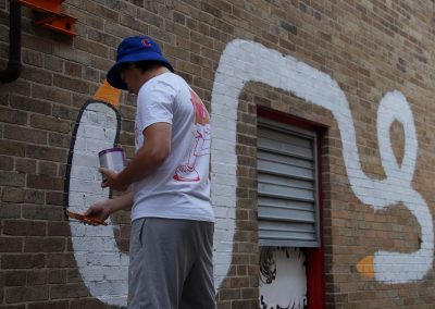
- Black Cat Alley
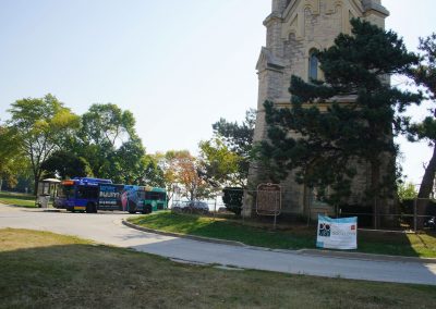
- Milwaukee Water Works North Point Tower
- Gee’s Clippers
- The Juice Kitchen
- Walnut Way
- The Tandem Restaurant / Historic Walter Schmidt Tavern
- Alice’s Garden Urban Farm
- Feeding America Eastern Wisconsin
- Milwaukee County Transit System
- St. John’s Evangelical Lutheran Church
- Brewhouse Inn & Suites
- Best Place at the Historic Pabst Brewery
- Eleven25 at Pabst
- Milwaukee PBS
- Milwaukee Public Museum
- Central Library
- Calvary Presbyterian Church
- Milwaukee County Courthouse
- Catholic Financial Life
- Chudnow Museum of Yesteryear
- Marquette University Law School / Ray and Kay Eckstein Hall
- St. Joan of Arc Chapel @ Marquette University
- Ambassador Hotel
- Tripoli Shrine Center
- Riverside Theater
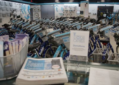
- Bublr Bikes
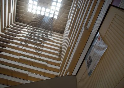
- Hyatt Regency Milwaukee
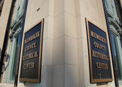
- Milwaukee County Historical Society
- Kilbourn Avenue Bascule Bridge
- Marcus Center for the Performing Arts
- Mortgage Guaranty Insurance Corporation (MGIC)
- MSOE Grohmann Museum
- Milwaukee City Hall
- Milwaukee Repertory Theater
- Safe House & Newsroom Pub

